

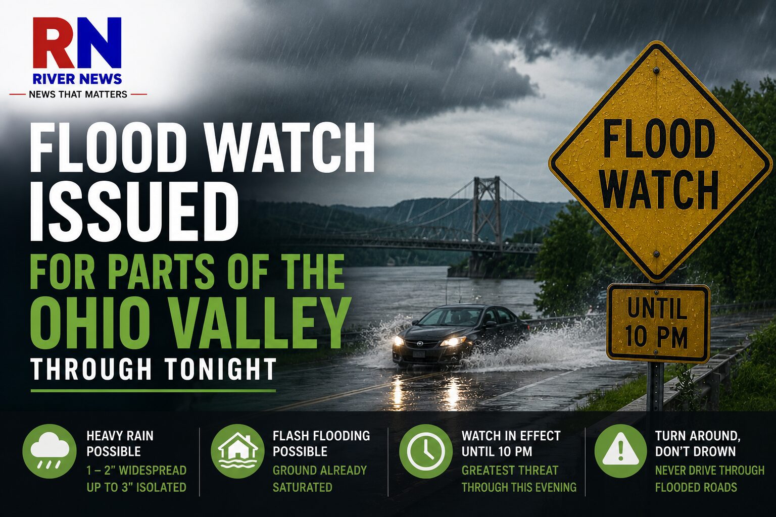
OHIO VALLEY — The National Weather Service has issued a Flood Watch for portions of eastern Ohio and northern West Virginia as rounds of heavy rain could lead to flash flooding Thursday.
The watch remains in effect until 10 p.m. and includes the following counties:
West Virginia:
- Ohio
- Marshall
- Wetzel
- Tyler
Ohio:
- Belmont
- Monroe
- Noble
Communities included in the watch include Wheeling, Triadelphia, Moundsville, New Martinsville, Middlebourne, Sistersville, St. Clairsville, Barnesville, Woodsfield and Caldwell, along with surrounding areas.
Forecasters say widespread rainfall of 1 to 2 inches is possible, with isolated areas receiving up to 3 inches. Because the ground is already saturated from recent rainfall, additional heavy downpours could quickly lead to flash flooding in low-lying and flood-prone locations.
While not every community is expected to experience heavy rain, storms that repeatedly move over the same area could produce excessive rainfall in a short period of time.
The greatest threat for flooding is expected through this evening before storms gradually diminish as the Flood Watch expires at 10 p.m.
Residents are encouraged to monitor the latest forecasts and be prepared for rapidly changing conditions. Drivers should never attempt to travel through flooded roadways, as water depth and road conditions can be difficult to judge.


