



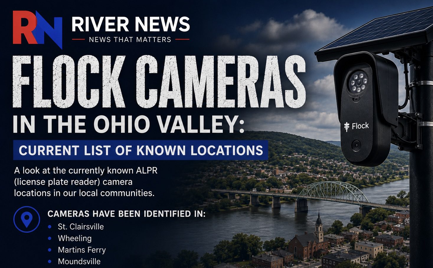
Hundreds of drivers pass ALPR (Automatic License Plate Reader) cameras across the Ohio Valley every day—often without knowing where they are. Agencies generally are not required to publicly announce where these cameras are located, when they are installed, why they are being used, how long they keep the data, or who it is shared it with.
The list below includes the currently known ALPR (license plate reader) cameras in the Ohio Valley. Because there is no official public list of ALPR camera locations, River News identified the locations below using publicly available camera data and GPS coordinates. Locations are approximate and listed by the nearest major roadway or intersection.
Bridgeport / Brookside
- U.S. 40 (National Road) near Howard Street
- U.S. 40 (National Road) west of Bridgeport near Lombardy Heights
- U.S. 40 (National Road) approaching Brookside
- U.S. 40 (National Road) east of Bridgeport
Aetnaville
- State Route 250 (Main Street) at the Ohio River bridge approach
- State Route 250 (Main Street) north of the bridge approach
Martins Ferry / Yorkville
- North Zane Highway at Colerain Pike (SR 647)
- North Zane Highway near downtown Martins Ferry
- Deep Run Road (County Road 4) near SR 647
- State Route 2 (Ohio River Road) near Yorkville, south of Short Creek
Elm Grove / Bethlehem
- National Road (U.S. 40) near Wheeling Park
- National Road (U.S. 40) at the Interstate 470 corridor
- National Road (U.S. 40) west of the Interstate 470 interchange
- U.S. 250/National Road near Upper Belvedere and Boggs Run
Wheeling / Warwood
- Warwood Avenue (WV 2) near Clearview
- Bethany Pike (County Route 3) near Yorkville/Clearview
- Bethany Pike (County Route 3) north of Clearview
Moundsville
- U.S. 250 (Jefferson Avenue/Lafayette Avenue) through downtown
- 4th Street/Tomlinson Avenue area
Triadelphia
- Interstate 70/U.S. 40 (National Road) near Cabela Drive and Fort Henry Road (The Highlands)
This list reflects the camera locations identified during River News’ review of publicly available ALPR mapping data and will continue to be updated as additional cameras are identified throughout the Ohio Valley.
According to the public DeFlock transparency project, an anti-Flock movement, more than 6,400 agencies across the country use Flock Safety license plate readers and can share information with one another. However, only about 900 agencies have a public transparency page, and only about 530 publicly identify which agencies they share data with. Many agencies do not publish that information. Reasons unknown.