



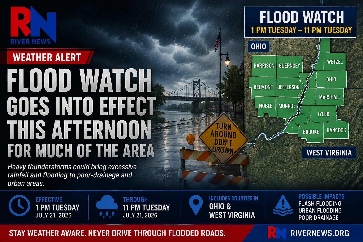
OHIO VALLEY — A Flood Watch will take effect at 1 p.m. Tuesday for much of the Ohio Valley as forecasters warn that repeated rounds of heavy thunderstorms could produce excessive rainfall and localized flooding.
The watch, issued by the National Weather Service offices in Pittsburgh and Charleston, remains in effect until 11 p.m.
The following counties are included in the Flood Watch:
Ohio: Belmont, Guernsey, Harrison, Jefferson, Monroe and Noble counties.
West Virginia: Brooke, Hancock, Marshall, Ohio, Tyler and Wetzel counties.
Communities within the watch area include Wheeling, Moundsville, Cameron, New Martinsville, Middlebourne, Sistersville, Woodsfield, Caldwell, Cambridge, Barnesville, St. Clairsville, Cadiz, Scio, Steubenville and Weirton, along with surrounding areas.
Forecasters say multiple rounds of thunderstorms may move over the same locations throughout the afternoon and evening, increasing the risk of excessive rainfall. Some areas could receive several inches of rain, leading to flooding in low-lying, poor-drainage and urban areas.
Residents are encouraged to monitor the latest weather forecasts and be prepared for possible Flood Warnings if conditions worsen. Never drive through flooded roadways, as water depth and road conditions can be difficult to judge.